Costain and Cambridge University researchers have made freely available a significant dataset that should help kickstart the development of digital twins for roads.
The CAMHighways dataset, drawn from 42.8km of mobile mapping data of the A11, A12 and A14, consists of:
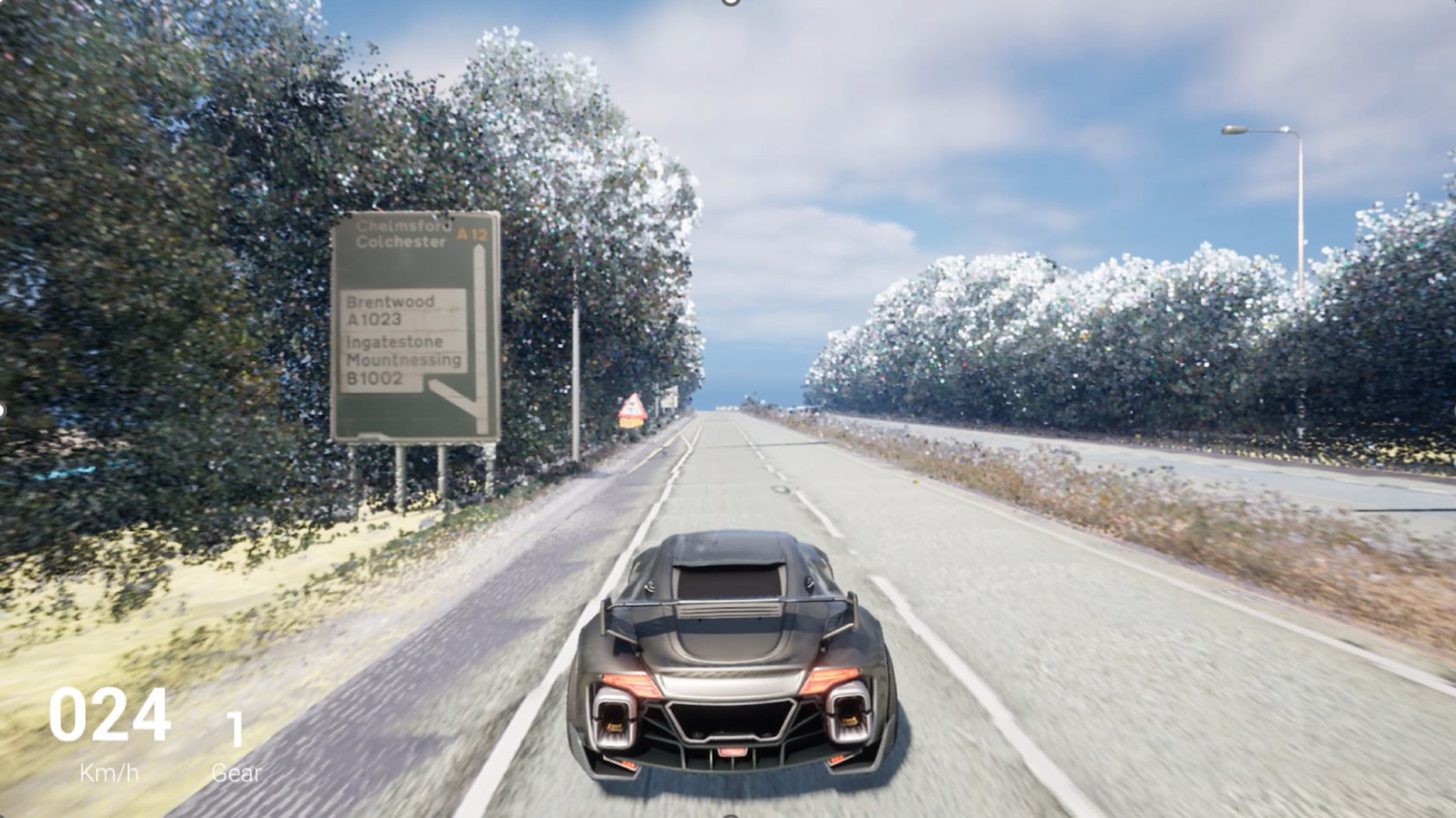
All the data types are georeferenced to the British National Grid and can be integrated into game engines and/or GIS software.
This is not a paywall. Registration allows us to enhance your experience across Construction Management and ensure we deliver you quality editorial content.
Registering also means you can manage your own CPDs, comments, newsletter sign-ups and privacy settings.
The researchers outline their work in the March edition of Advanced Engineering Informatics. They state: “The dataset is tailored to build a digital twin and designed to enhance highway inspection and maintenance processes.”
Industry-first dataset
The researchers claim their dataset “distinguishes itself from other datasets in several aspects”. First, they state that existing datasets primarily focus on either autonomous driving or defect detection: the CAMHighways dataset can be used for both at the same time. It can also be used to provide a 3D virtual environment for detailed inspection, simulation and testing.
Second, “while most existing datasets tend to focus on urban environments, CAMHighways exclusively provides data collected on highways”. And third, they claim this is the first such dataset to comprise several modalities integrated together, namely imagery, point clouds and GPR data, as well as corresponding defect and asset labels.
“This provides the academic and industry communities a solid footing for running simulations and training machine learning and AI algorithms, laying the groundwork for future infrastructure digital twins,” they state.
Further development
The researchers acknowledge the limitations of their dataset, not least that most of the roads mapped have a concrete surface, or an asphalt surface layer over a concrete base. This means that the defect and GPR data are mostly representative of concrete road-specific conditions and damage.
Work is ongoing, with some of the researchers working on the collection, integration and 3D reconstruction of thermal data in the dataset.
Download the dataset.
Don’t miss out on information management and digital construction news: sign up to receive the BIMplus newsletter.